
Finnmark, Norway
About Kirkenes
A town at the edge of the world
Kirkenes is located in Sør-Varanger municipality, in the far north-east of Norway, right next to the Russian border. The town is known for its unique blend of Norwegian, Sami and Russian culture, and for a nature that changes dramatically with the seasons.
With only 15 kilometres to Russia, Kirkenes is one of Europe's most distinctive border towns. The border dynamic shapes everyday life – Russian is almost as commonly heard as Norwegian on the streets, and trade cooperation with the neighbour has a long tradition.
For nature lovers, Kirkenes is a paradise. In winter, everything is covered in snow and the northern lights dance across the sky. In summer, the sun is out around the clock. There is always a season to look forward to here.
Facts about Kirkenes
- Population
- ~3 500 (by) / ~9 800 (kommune)
- Municipality
- Sør-Varanger
- County
- Finnmark
- Elevation
- ca. 30 m
- Distance to Russia
- ~15 km
- Distance to Oslo
- ~1 850 km
- Northern lights season
- September – Mars
- Midnight sun
- 20. mai – 22. juli
History
Kirkenes was founded as an industrial town in the early 1900s, when iron ore was discovered in Bjørnevatn. AS Sydvaranger started the mining operations that formed the backbone of the town for over 80 years.
During World War II, Kirkenes was subjected to over 328 Soviet bombing raids – more than any other Norwegian town. The population spent much of the war sheltering in mountain bunkers and bomb shelters. In October 1944, the town was liberated by the Soviet Union, and Norwegian forces moved in shortly after. German forces burned down large parts of the town during their retreat.
After the war, Kirkenes was rebuilt and remained a strategically important location during the Cold War. Today the mines are closed, but the town has reinvented itself as a destination focused on nature, culture and unique border-town life.
Did you know?
Kirkenestunet in Bjørnevatn has authentic wartime bomb shelters that visitors can enter – a powerful reminder of the town's dramatic past. The Grenseland Museum tells the full story.
Geography and nature
Kirkenes is situated at the innermost point of Bøkfjorden, an arm of Varangerfjorden, surrounded by low mountains and Arctic nature. The landscape is characterised by birch forests, marshes, lakes and a coastline that stretches far inland.
Sør-Varanger municipality borders Russia to the east and Finland to the south – making the region a rare triple border point. The Pasvik Valley to the south is one of Norway's most valuable nature reserves, home to bears, moose and a rich birdlife.
The Barents Sea outside Varangerfjorden is one of the world's most productive oceans, supporting large fish populations – including the famous king crab that has established itself here since the 1960s.
The Pasvik Valley is also known for its unique river culture and is a popular destination for nature tourists and ornithologists from across Europe.
~15 km
to Russia
70°N
northern latitude
5 749 km²
municipal area
Nature and outdoor activities
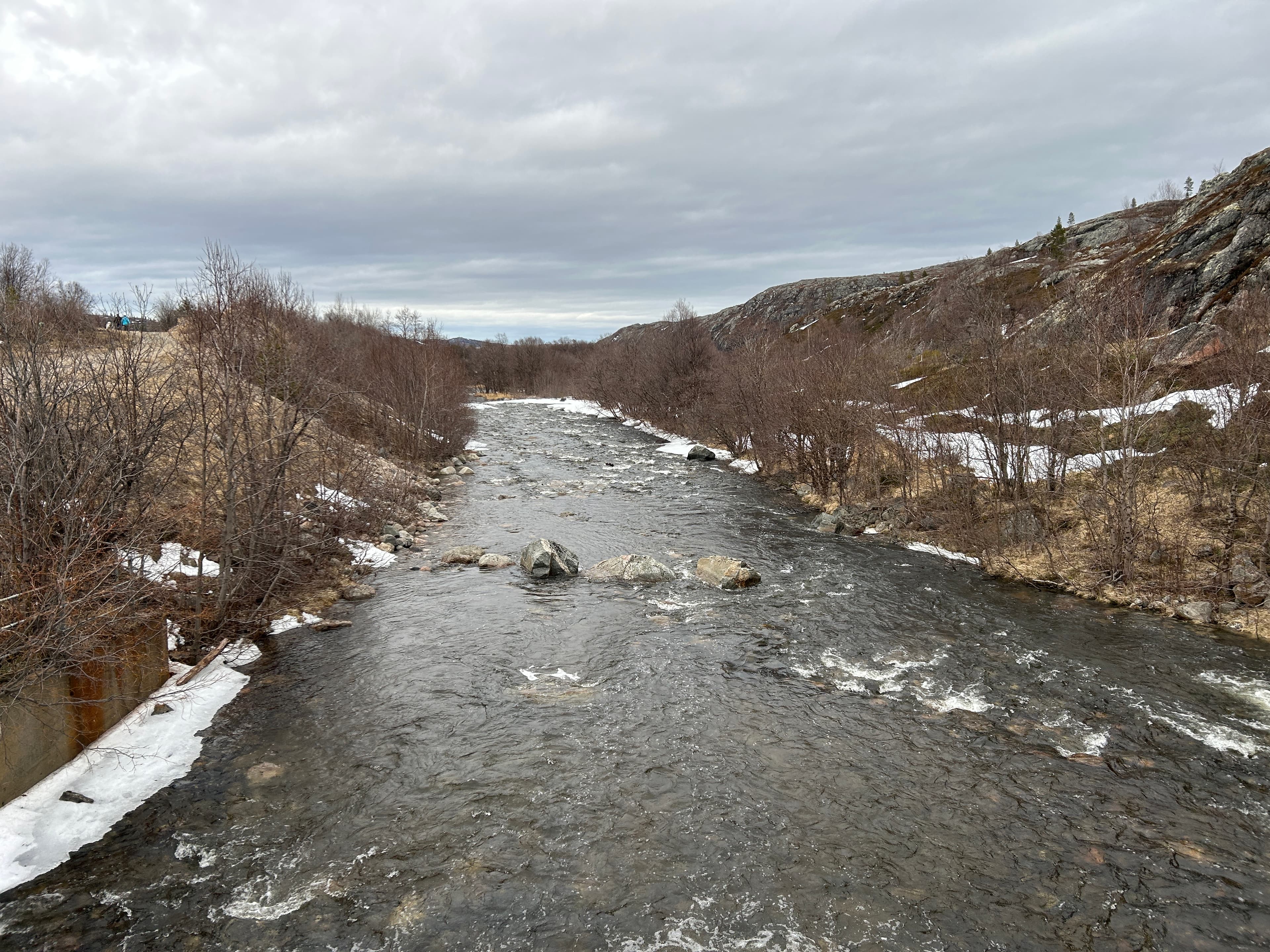
Sandnesdalen is a popular outdoor area just outside Kirkenes, with trails along the Sandneselva river up to the dam — perfect for running, hiking and fishing.
The nature around Kirkenes offers varied experiences throughout the year, from ski trails and ice fishing in winter to midnight sun hikes and berry picking in summer.
The Varangerfjord and surrounding mountains offer unique opportunities for birdwatching, kayaking and sea fishing. The area is known as one of Europe's best places to observe seabirds.
Climate and seasons
Kirkenes has an Arctic continental climate with large temperature variations throughout the year. Winters are long and cold, summers short but surprisingly warm. These contrasts are precisely what make Kirkenes an exciting destination year-round.
Winter
November – March
- Temperature
- −10 to −20°C
- Daylight
- 2–4 hours (polar night in December)
Northern lights, dog sledding, snowmobiling, king crab on the ice
Spring
April – May
- Temperature
- −5 to +8°C
- Daylight
- Rapidly increasing daylight
Easter holiday, skiing, the first warm days
Summer
June – August
- Temperature
- +10 to +20°C
- Daylight
- Midnight sun (no night!)
Kayaking, fishing, hiking, midnight sun tours
Autumn
September – October
- Temperature
- +2 to +10°C
- Daylight
- Rapidly decreasing
Northern lights return, wilderness experiences, peaceful nature
Ready to experience Kirkenes?
Explore our guided experiences – from northern lights safaris to king crab on the ice.